")
")


Light aviation
For companies that collect spatial data with by aerial imaging, this is a very useful tool for comparing the planned and realized flight trajectory. This information can tell more about the success of the flight and the coverage of the territory of interest.
Aircraft tracking for aerial imaging and LiDAR scanning purposes
As the partner company MapSoft is a leader in collecting spatial data based on aerial imaging and LiDAR scanning, the decision to monitor the SILA 750c aircraft being monitored via MobTrack:24 was an improvement in flight service.
The installation of the device is the same as with any other vehicle: the built-in device is powered by the battery and placed in the instrument panel. If the GSM signal is weakened at higher altitudes, the device will temporarily stop sending data, but all data will be stored in the internal memory of the GPS device. As soon as a GSM connection is established, all saved data will be transferred to the server, without any data loss.
display of realized aircraft flight in MobTrack:24 application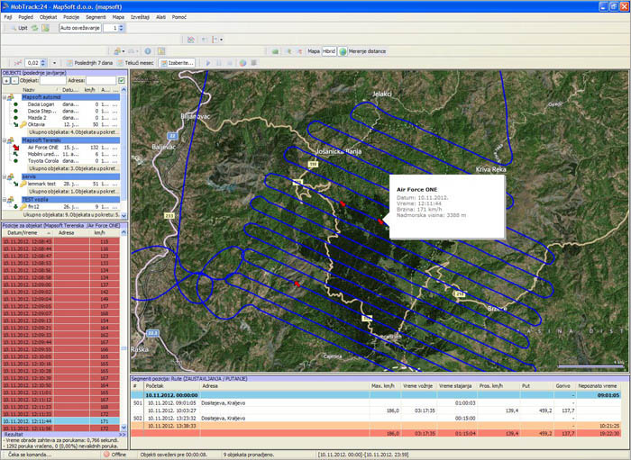
The possibility of exporting the flight path in KML and CSV format gives the possibility of better flight planning and a general view of the realization of the work (total flight time, fuel consumption, speed and altitude ...).
2D view of the realized flight path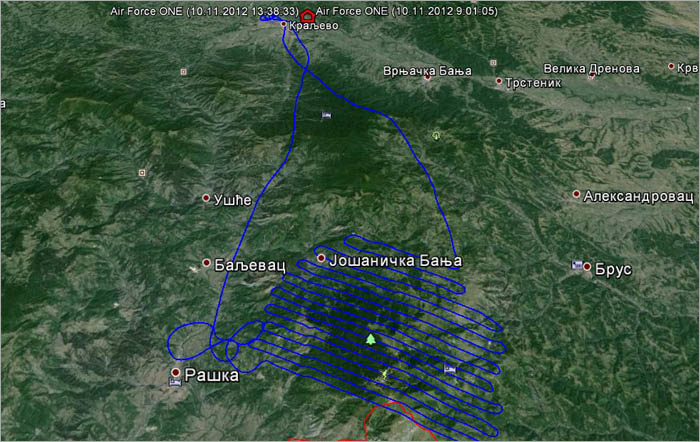
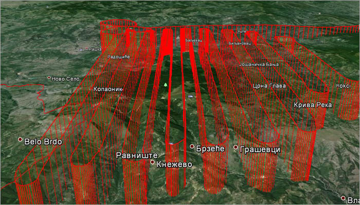
3D view of the realized flight path